
JMW Turner's Two 'St Vincent's Rock' Exhibits of 1793
Chapter I: The rising squall, hot wells, from St. Vincent's rock, Bristol: To determine its viewpoint and content
JMW Turner's Two 'St Vincent's Rock' Exhibits of 1793
Chapter I: The rising squall, hot wells, from St.
Vincent's rock, Bristol: To determine its viewpoint and content
'The rising squall, hot wells, from St. Vincent's rock, Bristol'
A painting by JMW Turner exhibited at the Royal Academy in 1793
The title shown above is JMW Turner's original title for
the picture from the catalogue.
Note his use of the word 'from'. Not 'at' or 'near';
but specifically 'from'.
To determine its viewpoint and content
1. Viewpoint and content by reference to the title and map
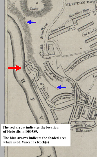
Turner's title places him on, or close to, St. Vincent's Rock at Hotwells on the Gloucestershire side of the river Avon because 'St Vincent's Rock' itself is on that side. Note that on the map at this point the River Avon flows from South to North and Gloucestershire is on the right (East).
2. Interpretation of 'from St. Vincent's Rock'
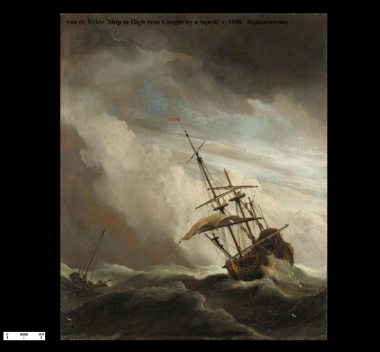
So a viewpoint 'from' 'St. Vincent's Rock' would not be a view of 'St. Vincent's Rock' but a view of the landscape west of it. That would most likely be the river. What the observer is looking 'at' (or the subject of the picture) is 'The rising squall' and JMW Turner's ideas of a 'squall' would most probably be consistent with contemporaneous references available to him. (examples: A B C)
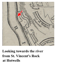
The viewpoint is at hotwells as indicated by the first part of JMW
Turner's title 'The rising squall, hot wells,...'
So he is standing at Hotwells looking out into the river from St.
Vincent's Rock.
Previously it was shown that D00074, folio 3 in the
'Bristol and Malmesbury Sketchbook' was the precursor sketch to D00389
from which JMW Turner painted 'The rising squall, hot wells, from St.
Vincent's rock, Bristol'.
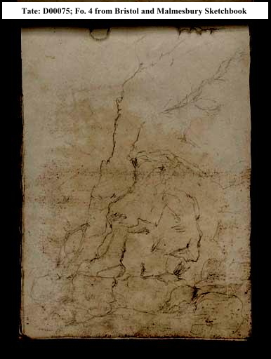
Folio
4 in the 'Bristol and Malmesbury Sketchbook' is a rock study from
the same area.
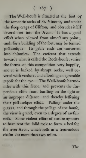
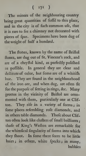
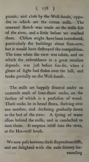
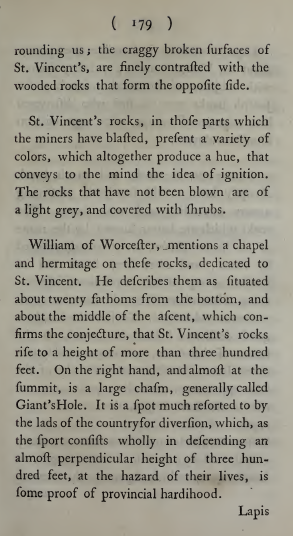
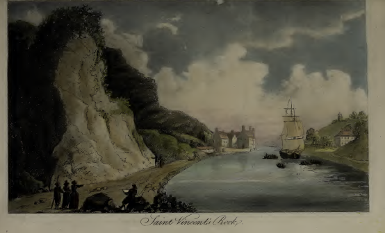
Ibbetson, Laporte & Hassell, pages 167 171 178 179 show that 'St. Vincent's Rocks' seems to describe the area generally whereas 'St Vincent's Rock' seems to describe the cliffs just around Hotwell House
It can be seen from the shaded feature on the map and from Ibbetson's plate that St. Vincent's Rock(s) extended northwards from south of the hotwell, behind Hotwell House and continued to the bend in the river beneath the escarpment marked 'Camp' on the map.